
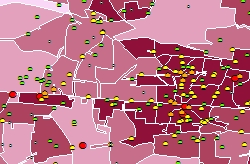
| GIS - Geographical Information System | ||
| The most well known geographical
information system - GIS - is the weather chart. This contains
useful information and is well presented and arranged on a thematic map.
A thematic map is the visual media to display spatial
information. A large amount of data is processed in complex analysis, summarized and cleverly presented on the screen. Each information has a strong reference to a region or a site. GIS software offers high complex methods of analysis and models that handle the data flood as well as deriving the necessary information out of it. The challenge to process and analyse your spatial data and display the result on an informative map is ispacom's expertise that is beneficial to your organisation. |
   |
![]()